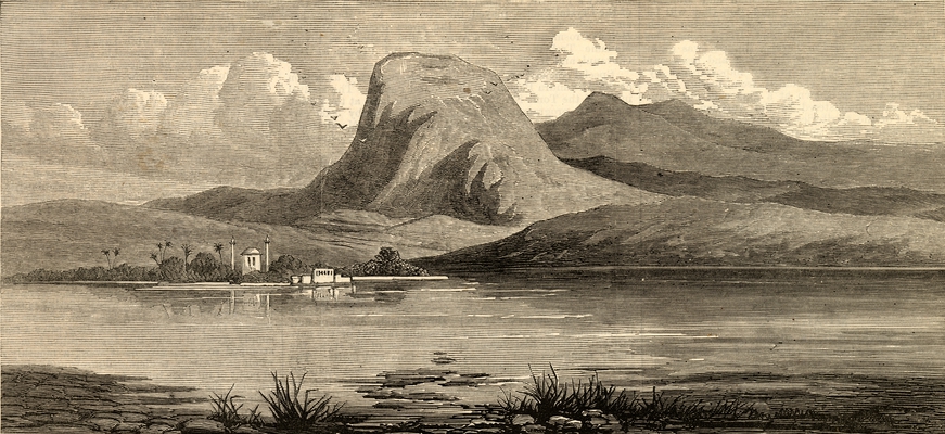
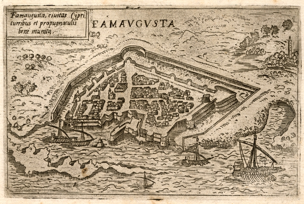
Historical documentation (books, documents, maps, drawings) contains, among other things, important geographical information concerning both the natural and manmade environments of the places to which it refers. This information is often embedded in various kinds of representations, such as engravings, perspective charts, horizontal plans, sketches and old photographs. Such representations are frequently found in documents concerning Cyprus, as the island constituted an important hub of activity in the Eastern Mediterranean.
The one-year research project entitled "Representations of the Coastal Zone of Cyprus through Historical Map Segments and Other Illustrations" was prepared by the Department of Geography of Harokopio University, Athens, under the scientific supervision of Professor Christos Chalkias and supported by the Sylvia Ioannou Foundation. The main objective of the project was to design and implement an open access web application that identifies, organises and classifies the content of historical representations of the island of Cyprus.
The open access web application offers all interested parties, researchers and enthusiasts the opportunity to journey to the historical past of Cyprus through documented pictorial material and to investigate and contrast it with the current reality. In addition, any user of the application may, if they wish, contribute towards further enriching the documentation by providing new material or by participating in the interpretation of the existing content.


